Directional Drilling: HDD Locating Systems Improve As-Built Data
December 22, 2015
Knowledge and information are power, is an old saying, but one that proves valuable when discussing the underground construction industry.The data collected from previous generations of contractors is crucial to successfully completing underground construction projects today. It is through this data that contractors are able to assess properly where utilities are to locate them for repair or avoid them during a new installation. Today’s technology enables contractors to log this data electronically as opposed to hand-written logs and when discussing horizontal directional drilling (HDD), this logging is handled via the locating or tracking system.
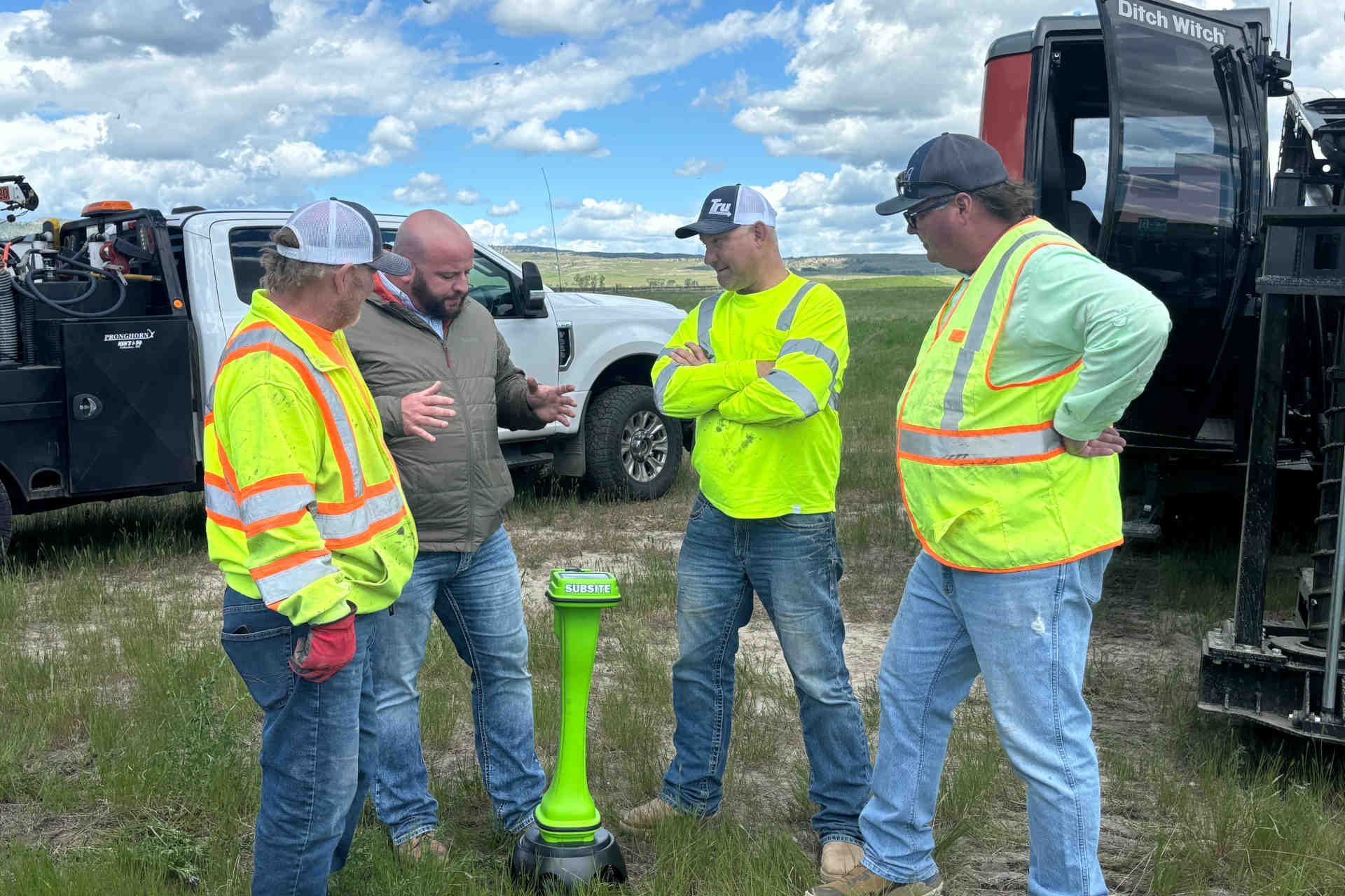
Gone are the days of a contractor relying solely on logging HDD pilot bore information by hand onto a log sheet and hoping someone at the office inputs it into a computer or files it properly. On the handheld locating side of the business are manufacturers such as Subsite Electronics and Digital Control Inc. (DCI). The companies’ locating systems are integral parts of the HDD process and have evolved over the years to become almost real-time reporting tools.
RELATED: Subsite Electronics Launches Mobile-Friendly Website
“In the last five years, there has been an increased requirement for documentation of HDD bores,” says DCI product manager Siggi Finnsson. “Part of that has to do with the fact that the underground is getting more crowded and it behooves us to know where things are located.”
Subsite product manager John Bieberdorf echoes Finnsson’s comments. He adds that more and more utilities, especially on the gas side, are requiring HDD contractors to verify where the borepath crosses other utilities. It is also important to have documentation when the time comes for inspection and maintenance.
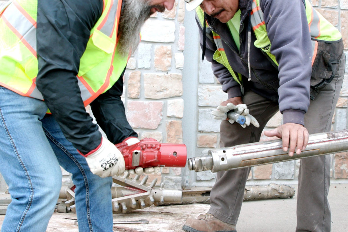
The locating systems developed and marketed by both Subsite and DCI are walk-over units, typically used for jobs that require a drilling rig of 100,000 lbs or less, which Finnsson estimates are the vast majority of HDD projects. Bieberdorf cautions that soil conditions, project location and length also dictate when a wireline navigation system would be used instead.
As the cell phone and mobile technology has evolved, so too have the locating systems allowing for more accurate tracking and the ability to generate as-built reports in the field. This latter advancement allows for the creation of a more complete and accurate mapping of underground installations.
“What used to have to wait until you are in the office you can now see in the field, as you make the bore, which adds a visual dimension to what the driller has access to,” Finnsson says, referring to the LWD Live app on the DigiTrak Aurora remote. “Accurate data is paramount in the locating process itself. A contractor needs to know, with a great amount of certainty, where they are, their depth and their pitch and clock information. They need to know where they are headed and in areas of interference this can get difficult.”
Finnsson notes that increased as-built data is great but if the data is not accurate (due to interference), the data is not very useful. Both Subsite and DCI have updated tracking systems to decrease interference by using filters and multiple frequencies, Subsite Electronics’ 4-frequency transmitter coupled with its Bore Path Analyzer (debuted in 2013), plus DCI’s Falcon system — debuted at ICUEE this fall — takes operating along interference to the next level. Interference, in particular active inference, is a common issue faced by HDD crews.
RELATED: Vermeer Explains New InSite Productivity Tools for HDD Contractors at ICUEE

LWD Live on the DigiTrak Aurora remote charts the progress of the bore and topology as well as logging pitch, depth and other pertinent data.
“Traditionally, there are a couple ways of dealing with interference. One is to try a different frequency, usually there are four or five options, and the second alternative is to use a more powerful transmitter,” Finnsson says. “What Falcon technology is all about is instead of relying on distinct different frequencies, a contractor walks the borepath and scans for every interfering frequency that is present. The system measures the interference over a wide frequency spectrum (4.5 to 45 kHz) and identifies a number of frequencies that look to be the optimum, that is where interference is low.”
The TK Bore Path Analyzer and the Falcon system allows the user to see what band of frequencies will work best for the bore and pare the transmitter and receiver to the required frequencies for the bore. This allows the HDD crew to use optimum frequencies for each site, reducing the chance of the locating signal being interfered with.
“Key to modern day tracking is that data can be logged and sent almost immediately, to whoever needs it making it as real-time as it can be without monitoring it every minute of every day,” Bieberdorf says. Subsite unveiled its TSR Mobile software at the ICUEE show. The as-built software allows the user to download the bore data to a cell phone tablet or a computer.
The logged data has evolved from pitch and depth — which the person holding the tracker can see on the display and help steer the bore — to include a time stamp, GPS location and downhole fluid pressure and mark where the bore crossed other facilities or obstacles.
RELATED: Innovations Drive Industry Growth – New Installation
“The information available to today’s HDD contractors via the locating systems is significantly better, more accurate and much more content rich than it has ever been,” Finnsson says. “Think about a smart phone vs. your first cell phone. There is a significant difference there.”
This nearly real-time as-built information serves many purposes in addition to making sure the bore meets specifications. A contractor can use the data to measure the efficiency of its crews, equipment efficiency or improve estimating costs for future projects in a given geographic area. Bieberdorf, citing large-scale projects like Google Fiber, says a facility owner can make sure project milestones are met, compare HDD contractors and properly map its facilities.
Bieberdorf also envisions the potential for a universal underground facilities GIS mapping system to augment the one-call systems already in place.
Mike Kezdi is assistant editor for Trenchless Technology.