The Importance of Proper Utility Data in a Digitally Evolving World
The utility location and engineering industry has been in a growth mode in the last 25 years, fueled primarily by investment in infrastructure which has subsequently promoted growth in the field.
Population increases and technological advances have prompted the need for upgrades to North America’s utility networks to help customers maintain a modern standard of living.
Those who work in the field of utility engineering, you are aware that documentation of the location of existing infrastructure has been sparse and at times inaccurate. Subsequently, this improper documentation has led to challenges in the field with identifying the presence and location of existing infrastructure. Proper documentation of the location of existing and proposed infrastructure is vital given the growth-mode of the locate and utility industry.
This paper will walk through a brief history of the documentation methods used over the last 25 years in the utility locating industry.
RELATED: GPR and the Importance of a Multi-Method Utility Locating Toolkit
Paper Copy to Digital Utility Data
There has been an increased reliance on digital data over the years. Twenty-five years ago, most of the data output was conducted through hand-drawn tickets that were predominantly used in the locating field, as well as hand-sketched, red-lined drawings which were used in the engineering field.
This manual transfer of the information was extremely hard to manage. It was difficult to document, store, transmit and convey detailed and accurate information. The transition from paper-based sketching to automated and computer sketching of data for utility locates in the early 2000s was a great step forward. However, the computer sketching created a potential misrepresentation of the accuracy of the data being conveyed.
Utility locates for both one-call and private locates were transformed into digital form but still did not necessarily have any better spatial accuracy than the hand-drawn sketches. When GPS was introduced around the mid-2000s, tools became available to gather the information, however, GPS was treated as a tool for surveyors and engineers and not for those conducting utility locates. A documentation method was not tailored for utility locates at this time.
Standard Guideline for the Collection and Depiction of Existing Underground Utility Data
As these changes in the industry were happening, a group within the Construction Institute (CI) of the American Society of Civil Engineers (ASCE) understood the need for accurate and reliable information for civil engineers. This group started drafting a standard that would eventually transform the utility location business and create the market for subsurface utility engineering (SUE).
The ASCE/CI 38-02 – “Standard Guideline for the Collection and Depiction of Existing Underground Utility Data” was a major revolution. Now there was a way to qualify digital utility information used for engineering purposes. This new standard allowed the SUE market to grow and flourish. Utility data overseen by a professional engineer could be validated and, therefore, users had greater confidence in the accuracy of the data.
More Standards
Since 2010, as our urban centers have continued to grow, there have been increases in infrastructure investments with a focus on transit and transportation. Even the COVID-19 pandemic has provided a further boost to modernization of the telecommunications infrastructure since more people than ever have worked from home during the lockdowns and beyond. Our public rights-of-way have never been more congested and the need for proper information to manage the rights-of-way has never been more critical.
Additional standards have been developed to help manage the data. ASCE 38-02 was recently updated and re-published as 38-22. There are two as-built standards now, CSA S250 in Canada and ASCE 75 in the United States.
There are also guidelines that identify how to manage the overall processes, such as the Transportation Association of Canada’s “Guideline for Coordination of Utility Relocation,” published in 2016 and the “TAC – Guideline for Coordination of Utility Relocations on P3 Projects,” published in 2021. The creation of these standards and guidelines are a big step in the right direction, however, the effectiveness still relies on government, agencies, and users to adopt them and use them properly. The efficacy of a tool relies on the efficacy of a user.
RELATED: UESI Pipelines Conference Returns In-Person
Buzzwords
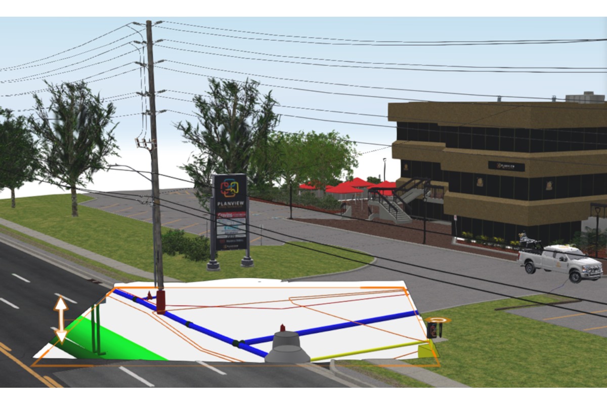
In recent years, we have been inundated with buzzwords like metadata, digital twins, artificial Intelligence (AI), virtual reality, augmented reality and others that are all related to digital utility data.
Companies like 4M Analytics are promoting new ways of using remote sensing combined with metadata and analytics to facilitate the collection and depiction of utility data. The BIG question is, can all these new buzzwords and technologies be trusted, or are they just words without any real substance or backing behind the validity and accuracy of the information?
For example, consider the buzzwords digital twins and augmented reality. The information that is being conveyed may look very intriguing in digital twins and augmented reality, however, if we do not understand the source and the methods behind how this information has been collected, we might be fooling ourselves into being overconfident about the accuracy of the information, which could in fact cause more harm than good.

Utility Data is a Commodity
The sheer volume of data that is now available and must be vetted and analyzed is overwhelming. Utility data is the “new oil” and is a true commodity. When used correctly utility data can provide efficiency and reduce inherent risk faced when conducting utility infrastructure renewal and expansion.
An important aspect of this new currency of digital utility data is that it must be accurate and reliable. It must be validated through a combination of physical, on-site, utility investigation and augmented with utility data intelligence to provide confidence in the data. Appropriate oversight of the data by professional engineers and other qualified professionals is needed. When using modern technologies and integrating them into day-to-day practices, it is important to remain cognizant of the nature of the underlying data to ensure that the data can facilitate better and more efficient utility risk mitigation.

Summary
It is an exciting time for the utility engineering and utility locate industries. Innovative technologies, standards, and guidelines are transforming the management of utility data and the impact on day-to-day operations.
RELATED: SUE: It’s Not Just Utility Mapping
The ability to digitize utility data and to harmonize the use of the remote digital data investigations with the physical field investigations can be revolutionary. The true challenge will be ensuring there is proper oversight, critical thinking plus adherence to standards that will solidify the trust factor in the digital information as an accurate representation of the physical utility world. Stay tuned for future waves of technology and how this revolution will unfold.
Ophir Wainer is the Director of North American business development and the trusted technology implementation advisor at 4M Analytics. Lawrence Arcand, P.Eng , P.E. is the president of 4Sight Utility Engineers.


