Matching the Technology to the Task Geophysical Techniques can Reduce Risk, Project Delays
October 7, 2014
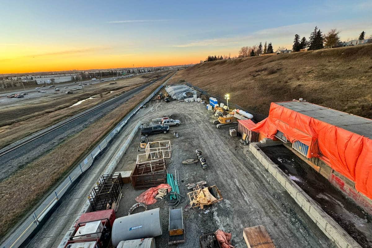
 A recent report authored by the Canadian Common Ground Alliance (CCGA) states that the most frequent cause of damage to underground infrastructure in Canada remains excavating before acquiring adequate knowledge of what lies beneath.
With numerous services buried under suburban neighbourhoods including cables, fibre optics, sewage, water and electricity, the report states what most of us already know: Identifying, locating and marking buried utilities before digging is essential to avoiding disruption of essential services, property damage, environmental contamination and serious injury.
Part of the problem is attributed to the patchwork fashion in which utility locating is legislated.
Administered by a host of municipal, provincial and federal regulators, there’s a general lack of clarity around the rules and regulations that govern safe excavation practices in Canada. The recent passing of Bill 8 in Ontario shows an attempt to improve the situation by mandating that all public utilities become part of the ON1Call system.
However, a second challenge lies in a lack of awareness around sufficient locating practices. Many service providers continue to leverage basic locating equipment, which is incapable of discerning non-conductive buried infrastructure such as concrete, clay or PVC pipes — popular materials for natural gas, sewer and wastewater utilities. Without the ability to locate these utilities, project stakeholders remain open to risk. In fact, the latest Ontario Regional Common Ground Alliance (ORGCA) DIRT Report revealed that the majority of underground utility damage occurring in 2012 was related to sewer/wastewater infrastructure — more than double that of electric utilities.
No single locating technology can locate all utilities effectively where ground conditions, utility composition and depths vary. Luckily, advancements in technology have given way to a range of geophysical techniques that when properly leveraged can solve almost any challenge related to achieving an accurate picture of subsurface utilities. Here’s a look at some of the tools and techniques available today and when they should be applied to mitigate risk.
When Simple Locate Marks Will Do
Basic locating is suited to projects that don’t require detailed data on buried infrastructure, and where an approximation of the utilities’ horizontal position will suffice. This technique is generally carried out with electromagnetic (EM) Induction, a common locating tool that operates by sensing either a background signal or a signal introduced into a conductive utility line using a transmitter. In order for this technique to work effectively, there must be a direct connection to a piece of utility hardware and the utility must be comprised of a conductive material, such as a metal pipe or cable.
An induction clamp can also be placed around conduits or exposed cables. Coils of wire in the clamp are energized by the transmitter to produce a magnetic field that is transferred onto the cable and subsequently located by a receiver.
EM Induction is ideal for basic locating but has several limitations and often needs to be complimented by other, more sophisticated technologies such as ground penetrating radar (GPR). For example, it’s only effective where buried utilities within the project site are composed of electrically conductive material or are buried alongside tracer wires. It also does not supply accurate data on the depth of buried utilities. Typical applications of EM Induction include locating metal conduits related to water, electricity, telephone and communication cables.
When More Detailed Data Is Required
Projects that require deep analysis on the horizontal and vertical positions of buried infrastructure should incorporate GPR, particularly when non-conductive utilities may lie beneath. GPR is a non-destructive technology that transmits high frequency radio waves into the ground and analyzes the reflected energy to create a profile of the subsurface features. The reflections are caused by a contrast in the electrical properties of subsurface materials.
GPR is a common geophysical tool used to identify changes in subgrade, water content, depth of bedrock and other features. When field data is collected, it can also be extremely effective at locating buried conductive and non-conductive linear infrastructure such as natural gas in PVC, concrete sewers and other utilities. An additional advantage lies in the fact that a direct connection is not required to discern utilities and other underground features.
When combined with EM Induction, GPR surveying helps to complete the necessary field data collection required to ensure success at the design stage of a construction project. For example, when GO Transit was re-configuring a portion of track between the Don River and Strachan Avenue, GPR was applied to capture missing data on the entire underground infrastructure including gas, sewer and water. This data was then combined with EM Induction data to create a detailed, layered drawing that provided an accurate depiction of all public and privately owned utility services, eliminating the risk of surprises at later stages of the project.
GPR has few limitations but the depth of penetration can be affected by soil conditions on the project site, and this should always be factored into the decision-making process. For example, sites comprised of dry soil are ideal, but heavy clay-based soils or high chloride concentrations can be difficult to penetrate.
Locating Buried Metallic Features

EM Induction equipment is ideal for carrying out basic utility locating. However, it cannot be used to detect non-conductive features such as concrete or plastic pipes.
What could be better for locating pipelines or buried underground storage tanks across a vast area than a giant metal detector? That’s essentially how time domain electric magnetic (TDEM) survey equipment is utilized. It generates an electromagnetic pulse that penetrates the subsurface and then measures the decay of the magnetic field in the ground properties. By measuring and recording this data, subsurface anomalies and features can be identified and mapped. Because no contact with the ground is required, TDEM can cover a large area quickly, and surveying can be easily combined with RTK GPS equipment for mapping accuracy.
An Ounce of Prevention
The Canadian construction industry is booming and it’s estimated that new construction investment in the country will exceed $300 billion by the end of 2014. In fact, the industry will need to recruit almost 300,000 new workers to meet expansion and replacement demands between 2014 and 2023. Many large, high-risk projects are in the works with a focus on transit, pipelines and power generation.
As project stakeholders struggle to meet deadlines and risk continues to be shifted between engineers, construction firms and governments, incorporating geophysical techniques into the early stages of a project can greatly reduce construction-related incidents, project delays, redesigns, unplanned utility relocations and costly change orders.
The key lies in matching the right technology to the task and factoring in key considerations for each project site. For example: What are the soil conditions? How big is the project area? Do we require simple or advanced interpretation of subsurface features? Is the project related to shallow or deep construction and how will missing data or reliance on poor records add risk to stakeholders throughout the lifecycle of the project?
Leveraging an intersection of geophysical methods allows for a level of interpretation not otherwise possible. This data serves as a powerful tool to safeguard against the unexpected while promoting safe, responsible design for projects big and small.
Kevin R. Vine, MBA, is president of multiVIEW, a professional services firm that specializes in subsurface utility engineering, near-surface geophysics, infrastructure inspection and utility locating.