High Resolution Multichannel GPR for Efficient Utility Mapping
With infrastructural developments in both underground construction and utilities, the subsurface in urban areas is becoming more and more congested. As urbanization increases, aging subsurface infrastructure, climate change, and flooding all fuel the need for a better understanding of subsurface conditions.
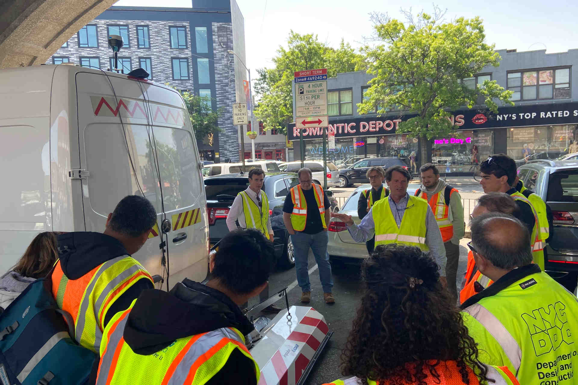
Today, ground penetrating radar (GPR) investigations along with other locating methods are commonplace for mapping existing utilities either directly on the street or as a post-processed map. GPR measurements are primarily conducted as single profiles (with 2D equipment) but have limitations in complex areas where utilities change direction or vary in depth. Figure 1 shows an example of a utility locating project using 2D equipment where profiles can only be viewed in one dimension. In areas with larger survey sizes or those containing high levels of congestion, a multi-channel high-resolution GPR system can be the appropriate solution.

Figure 1: 2D GPR measurements resulting in a simple map where identified utilities are marked. The positions of utilities are often marked directly on the street (often referred to as mark-out) and the creation of a map isn’t required.
GPR and Multichannel Methodology
GPR uses electromagnetic pulses to produce an image of the subsurface, a method that is comparable to a fish-finder on a boat. The technique is non-invasive and does not require any physical contact with the utility being mapped. In short, a transmitter antenna sends a pulse of radio energy into the ground and that pulse reflects when it hits an object; the reflected pulse is then collected by a receiver antenna. As the system moves along the ground, a continuous section of the subsurface can be collected.
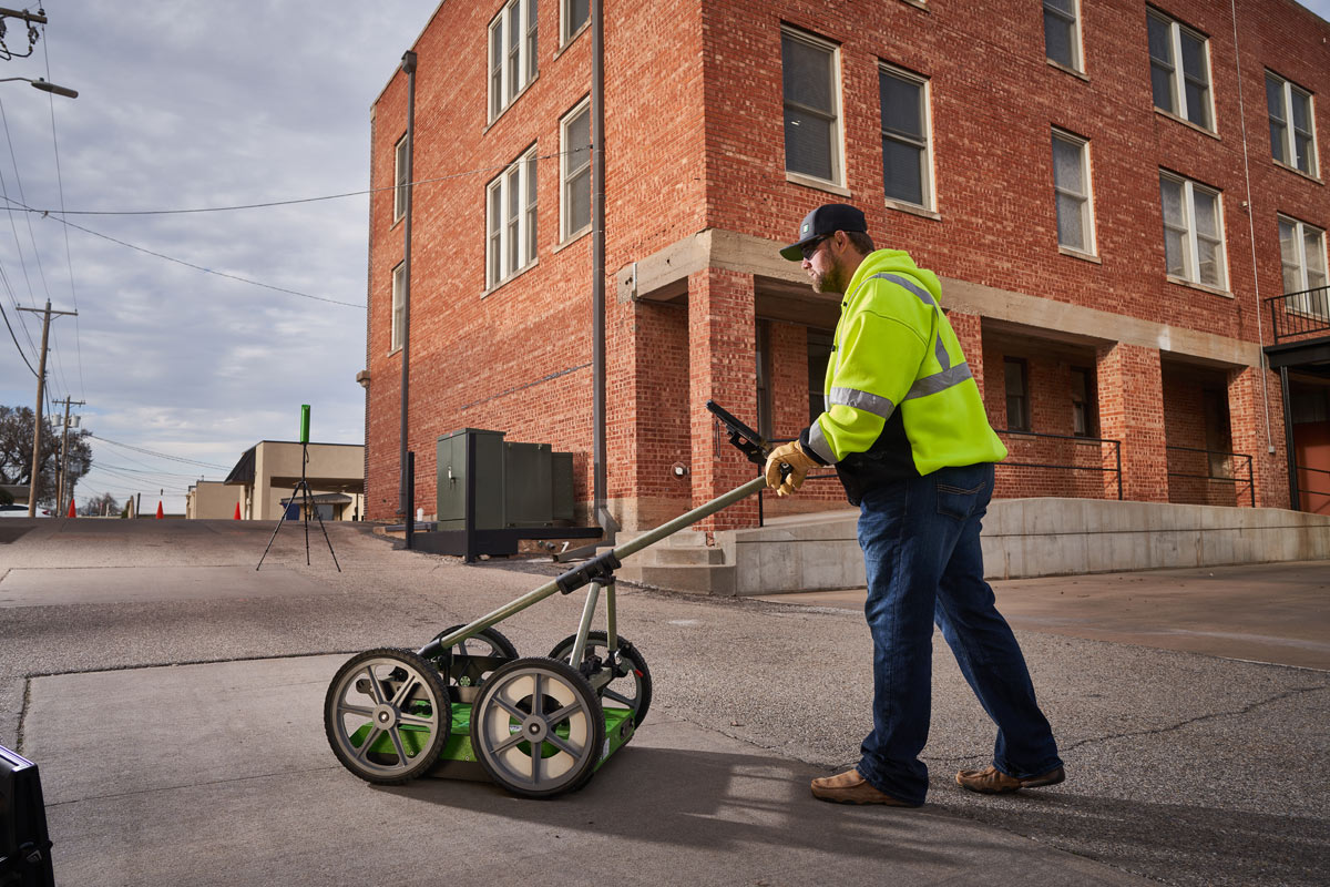
A 2D GPR system can only map a single subsurface profile with each pass. In order to collect high-resolution, three-dimensional information about the subsurface, multiple lines must be collected with extremely tight spacing (15 cm, 6.9 in. or less). This can result in a time-consuming investigation with difficulties in positioning each individual line correctly. Instead, multichannel techniques have been developed where the GPR system is made up of several transmitters and receivers that provide closely spaced channels with precise positioning. This can be seen in the top image. Multichannel GPR systems produce extremely dense profiles with line spacing down to 6 cm (2.5 in.) which can be used to create a 3D volume of data. In doing so, the data can create easily interpretable, precise maps from various depths of the subsurface.
Applications and Advantages of Multichannel Systems

Figure 3: Different examples of multichannel equipment.
 Multichannel GPR systems come in different sizes for a variety of applications. A few examples of these applications are archaeological projects, airport runway mapping, and high traffic road utility mapping. Depending on the size and project, a system can be pushed by hand or towed by a vehicle. Figure 3 shows two examples of set ups for multichannel systems. On top of increased data resolution, another primary benefit of multichannel GPR systems is the ability to collect significant amounts of data over large spaces in a short amount of time. Not only are multichannel systems able to collect 3D data, but developments in recent years have allowed for these systems to be operated at near highway speed with minimal loss of data quality.
Example: Large-Scale Investigation
In figure 4 an example of a larger scale utility mapping project is shown where the exact locations of the utilities were needed prior to construction work. The investigated area was 89×29 meters (292×95 ft), and field work took approximately 90 minutes to carry out.

Figure 4: Example of a large-scale utility mapping project (8 cm, 3.14” channel spacing). The utilities in several directions are clearly seen. The blue objects mark constructions on the surface.
Example: Small-Scale Investigation
For this project, the requirement was to determine the exact location of the connection point between a main utility line and its laterals. The size of the area investigated was approximately 10×25 m (33×82 ft), and the field investigation took merely minutes to complete. Processing of the GPR data to a ready result took less than 30 minutes.
Disadvantages of Multichannel Systems
Despite the many benefits of multichannel GPR systems, they do not come without drawbacks. One of the biggest drawbacks is the difference in cost; compared to the price of a single or dual antenna system, the cost for multichannel GPR systems is much higher. Another drawback of multichannel systems is their higher learning curve. While they are not so advanced that one cannot learn to operate them, there are different aspects to multichannel systems that require additional knowledge.

Figure 5: Example of a small-scale investigation with closely situated utilities (6.5 cm, 2.55” channel spacing). The map is taken from 0.8 meters (2.62 ft) depth. The distance between the outer pipes is 58 cm (1.9 ft).
Today, ground penetrating radar (GPR) investigations along with other locating methods are commonplace for mapping existing utilities either directly on the street or as a post-processed map. GPR measurements are primarily conducted as single profiles (with 2D equipment) but have limitations in complex areas where utilities change direction or vary in depth.
Conclusion
Multichannel GPR systems are a unique and powerful solution to efficiently map complex and/or large utility locating projects. These systems can capture a precise picture of subsurface conditions and locations of different types of utilities as well as quickly collect high resolution data, putting them among the most premiere GPR systems. As shown in the two examples, multichannel systems quickly produce clear and easily interpretable images of the subsurface. When used appropriately, these systems can help streamline the utility locating process and greatly enhance accuracy of results in an everchanging subsurface environment.