Ground Penetrating Radar and the Importance of a Multi-Method Utility Locating Toolkit
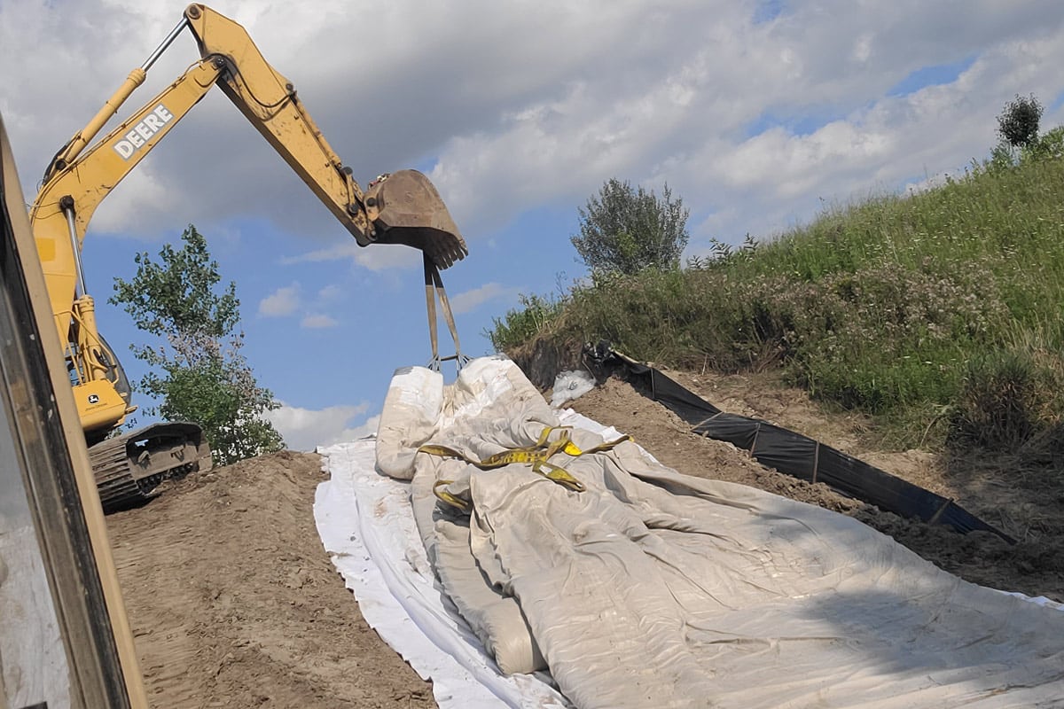
We’ve all seen it. That utility hit that shuts down the job. Delays pile up, costs mount, and angry calls from the client flood in. Yes, we’ve all been there. All because someone thought the as-builts were good enough, or didn’t perform their due diligence, or just plain old cut corners.
These things can cost your company tens of thousands of dollars, your good reputation in the marketplace, or something even worse: the safety of your employees. But it doesn’t have to be this way. Not when today’s SUE professional has a full suite of modern, easy to deploy tools and techniques designed to help him adapt to and overcome the challenges of any jobsite. This article will discuss one of the key components of that toolkit, Ground Penetrating Radar (GPR) and how it can help keep both your employees and your bottom line healthy and happy.
Many readers with knowledge of the American Society of Civil Engineers (ASCE) 38-02 Standard Guideline for the Collection and Depiction of Subsurface Utility Data may already be familiar with GPR, but it may surprise you to know that GPR has been around for quite some time. The technology was first commercialized in the 1970s by Geophysical Survey Systems Inc., based in New Hampshire. Early systems were very large, complex, and power hungry and were thus only appropriate for geologic exploration. By the mid-2000s the digital revolution had reshaped the technology into something more resembling what we see today. Those 35 years of development and customer feedback had resulted in a small, lightweight locating system that was easily deployable by a single operator. Improvements to the technology, as well as to best practice procedures, continue to this day.
RELATED: GSSI Celebrates 50th Anniversary
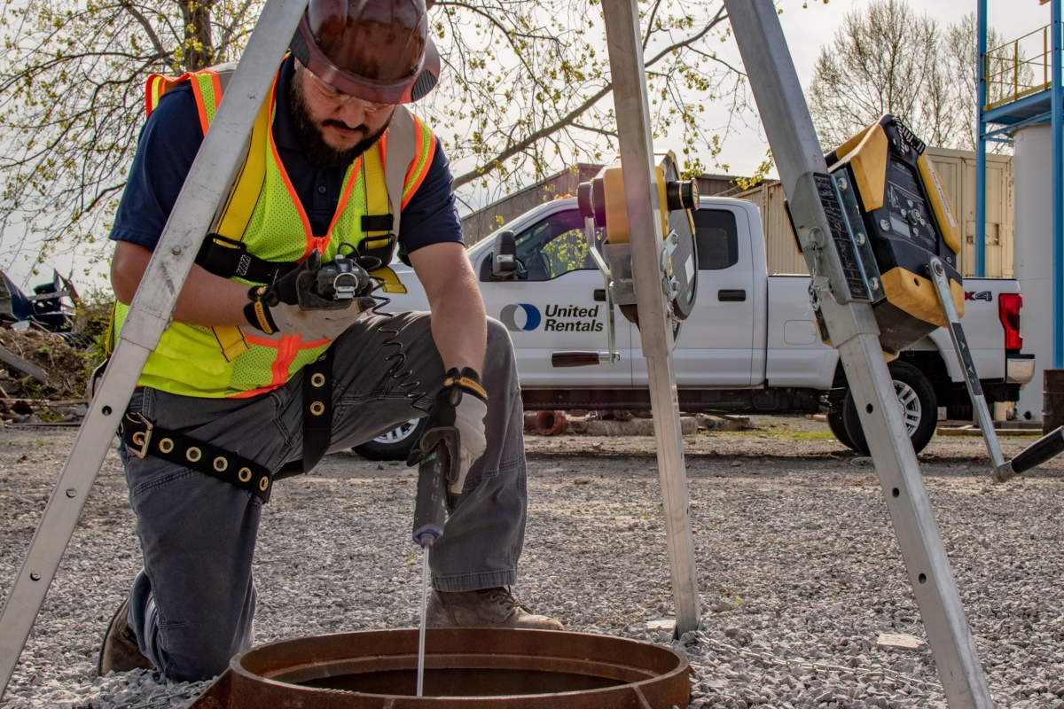
GPR works by sending low-level pulses of RADAR energy into the ground and measuring how long it takes for any reflection to return to the antenna. These pulses are emitted hundreds of thousands of times per second and used to generate a real-time image of underground reflections which is displayed on the screen for the operator. The emissions from GPR systems have been tested and certified by the FCC to pose no risks to health or equipment. With training, an operator can easily identify the location, depth, and sometimes type of utility.
GPR does not require a sonde or any additional signal to be added to the utility line and is effective at locating both metallic and non-metallic lines and underground storage tanks. Systems can easily be paired with GPS to aid in mapping and the production of deliverables. Furthermore, the field use of GPR is similar to that of traditional locating technologies and as such is easy for a trained locator to add to any preexisting procedure. The real time aspect of the technology allows for the user to mark in the field, as well as save the data with corresponding GPS locations for archiving and report generation.
Damage resulting from low quality subsurface utility data poses a significant danger to construction personnel and the public at large. It results in unexpectedly long road closures, degradation of critical infrastructure needed to support businesses, and an increased exposure of workers to injury from vehicle strikes, as well as the potential for injury to workers involved in the actual utility hit. It is the responsibility of the SUE professional to keep damage prevention as a central goal of any project. This is the reason the ASCE 38-02 guidelines recommend a multi-method approach incorporating GPR. Locates that are confirmed by multiple methods are of a much higher quality and trust level. In addition to confirming presence/absence of existing utilities GPR is ideal for locating targets which are challenging for pipe and cable locators. These can include abandoned utilities and subsurface anomalies such as sinkholes, voids, boulders, and rock ledge which may delay the project and lead to significant cost overruns.
While there are clear safety benefits to including GPR in the locating toolkit, many companies are also discovering the favorable economics of adding the technology to their business. The cost of GPR systems has come down significantly in recent years and systems often pay for themselves in as little as a few jobs both in avoided damage costs and additional revenue from scanning services. Many project stakeholders, mindful of the costs savings from quality utility location data, are increasingly requiring GPR scanning as a prerequisite on many projects.
RELATED: Utility Locating Offers Quantifiable Project Savings
GPR is finding a place in all phases of a construction project from initial cost estimation to identify ledge or pre-existing embedment, to excavation guidance, to QA/QC documentation of final work. Each instance is an opportunity for a company using a full toolkit with GPR to add value. GPR has become so common in some markets that SUE and excavation firms are beginning to look closely at money being spent on large scanning sub-contracts and deciding to realize that revenue for themselves, as well as stand out from their competitors. A locating kit involving GPR wielded by a trained professional locator following the methodology laid out in ASCE 38-02 is a key differentiator for many firms in today’s highly competitive environment.
By all accounts, the SUE industry is on the cusp of stratospheric growth in the coming years driven by an increase in public investment. As the nation’s infrastructure is rehabilitated and expanded, the firms which rise to the top will be the ones with leaders who understand the importance of holistic approach to locating and SUE. They will take full advantage of all available tools, including GPR, and reap great economic benefits while contributing to a safer environment for their employees and the public at large.
Dan Welch is director of sales with Geophysical Survey Systems Inc.