Pennsylvania City Turns to Sewer Inspection Software to Upgrade its GIS Department
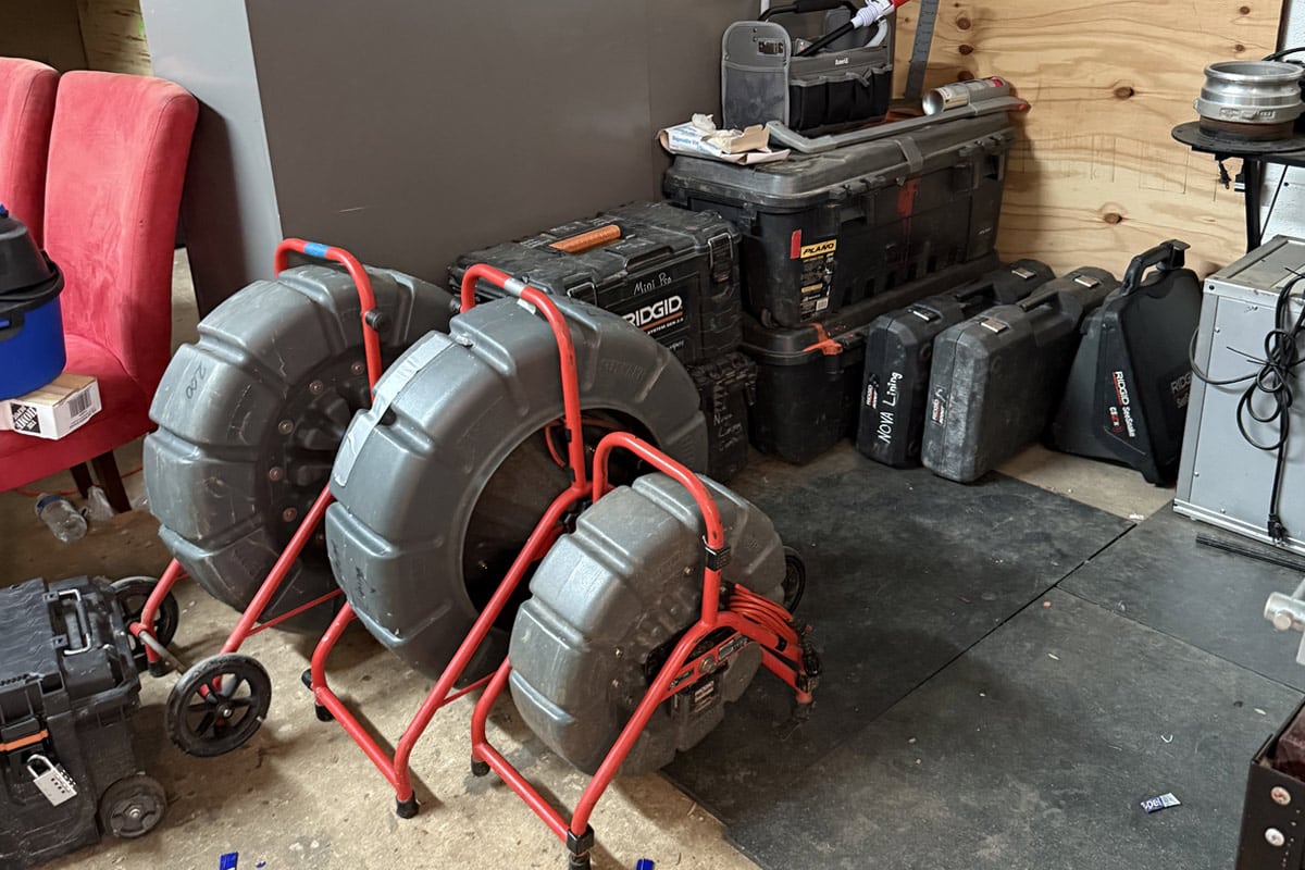
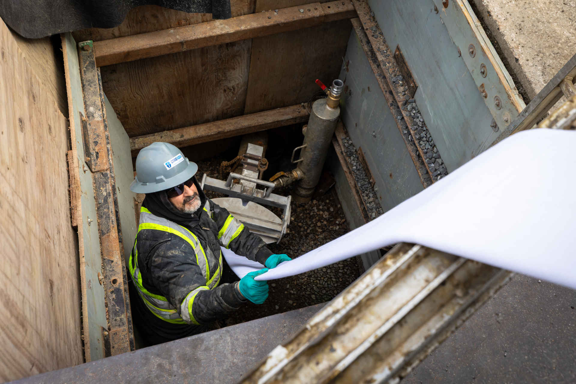
Situated 80 miles west of Philadelphia, the City of Lebanon, Pennsylvania, has become one of the fastest growing small cities in the United States. The City of Lebanon Authority serves as the water and wastewater authority for the City of Lebanon and surrounding municipalities. The Authority’s seven-member sewer inspection crew manages 90 miles of sanitary sewer lines.
The Need for an Upgrade
In 1996, The City of Lebanon Authority and County of Lebanon came together to form a GIS Department. The Department’s charter was to provide quick, accurate data on water and sewer mains locations, facilities and other assets. In 2014, the Department realized it needed to upgrade its sewer inspection software in order to better utilize the GIS information stored in its ArcMap and Infor systems.
“The new software needed to integrate seamlessly with ESRI ArcMap GIS and the Infor (Hansen) Public Sector assessment management tool, as well as provide an easier inspection storage solution,” says Eric Shearer, assistant maintenance manager at the City of Lebanon Authority.
“We needed a tool that could take all the information we collect through our sewer inspections and link it to the information that is available to us through ArcMap and Infor—in order to help us analyze the condition of our system and where our budget would be best spent,” says Shearer. “Before, although we’d been gathering information on our collection system, it was up to us to manually keep track of condition and analyze the data to construct a maintenance plan—this wasn’t efficient, nor was our approach strategic. We were making rehabilitation and inspection decisions as problems came in front of us; we needed to find a solution that would allow us to use the data we were collecting to make strategic inspection and rehabilitation plans and give us a 30,000-ft view of our entire collection system.”
The Solution
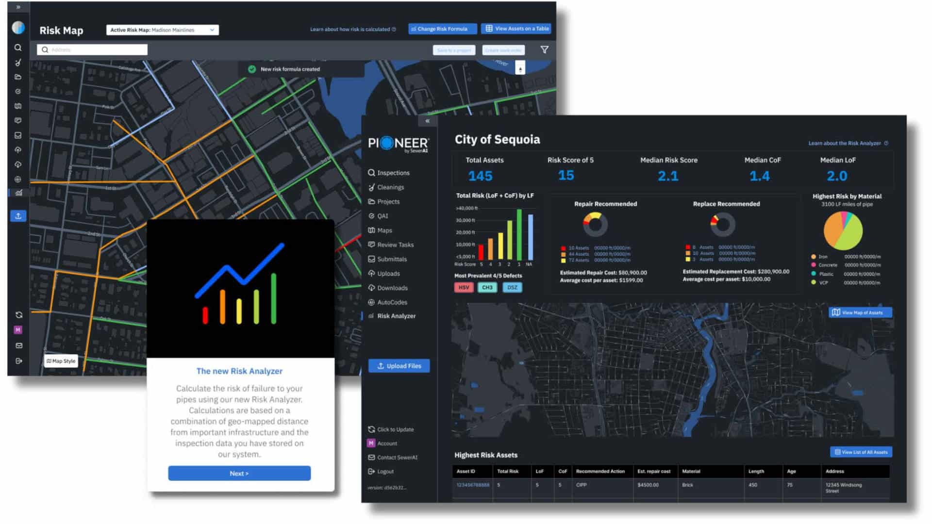
The decision to look into WinCan VX inspection reporting and asset management software was easy. As a long time user of WinCan v8, the City of Lebanon Authority’s crew was quite comfortable with the platform and knew they could rely on WinCan’s technical support team if they had any issues.
“The WinCan sales team was quick to assess our needs and share a solution that would work,” says Shearer. Some of the features that appealed to the Lebanon crew were WinCan VX’s support for all major GIS systems, its data analysis capabilities, its built-in mapping tools, a more robust SQL database giving them the power to handle bigger data sets, and its support for storing inspection videos digitally as MPEGs. “The decision to purchase the software was simple — it offered us everything we needed with a host of other features that I and my crew couldn’t wait to try.”
Since implementing the software, not only have they realized benefits in terms of planning and efficiency, but they’ve also saved money on inspection and rehabilitation. “Internally, the WinCan platform has helped us plan and execute a better sewer inspection program and use the end deliverable to create an action plan that we can present to our board,” says Shearer. “We’re using the inspection data to create reports that are very actionable, easy to analyze and well-organized. This approach gives us credibility, whether we’re talking to higher-ups, the crew or outside contractors — they know we have a strategic approach, which is evident in the reports we present.”

Since implementing the software, not only have they realized benefits in terms of planning and efficiency, but they’ve also saved money on inspection and rehabilitation.
Using the program also allows Lebanon to use the data from their GIS department. “With the ArcMap integration we can now go through the report and view the pipe segment on the map simultaneously, making it easier to document the condition, the surrounding geographical considerations and figure out who is responsible for the pipe segment,” he says.
Lebanon’s crew now schedules and prioritizes all their maintenance work through the program. “Something I now take for granted is how the software helps us manage our budget effectively and helps guide us to where money is best spent,” says Shearer. “With budget and manpower constraints, it’s important we get the most bang for our buck — the program delivers exactly that. Planning sewer rehabilitation projects requires weighing multiple data points for each pipe segment: location, defect severity, surface obstructions, pipe material and age—a huge undertaking when done manually. WinCan’s Rehab Planning Module (RPM) allows us to use inspection images, video footage, condition data and satellite maps to build and budget our rehabilitation projects more effectively.”
WinCan’s Rehab Planning Module also allows users to build a catalog of rehabilitation methods and apply them to problem areas in order to calculate the cost, manpower, and materials the project will require.
“The tool allows us to compare the cost of rehabilitation done by a contractor versus using our own resources,” says Shearer. “We are in a better position to negotiate the price a contractor charges us because we have a report that lays out all the work and what it would cost us to do it internally. Contractors are quoting us lower prices because they know we’ve done our homework.”
Also, the WinCan VX platform allows users to do manhole inspections complete with 3D models of the manhole and pipes. “With the ability to do 3D modeling of manholes while inspecting, we can perform manhole inspection in-house instead of paying an engineering firm to do the work,” Shearer says.
RELATED: Improving Regulatory Sewer System Inspections at Bethel Park, Pa.
The solution has also been fundamental in helping the City improve other internal undertakings. Like many water authorities, The City of Lebanon Authority’s staff believes in a proactive approach to handling inflow and infiltration (I/I). They’ve also been able to use the WinCan VX platform to aid in this mission. “Now when we inspect for I/I we use overlays from ArcGIS and WinCan maps with state-provided contour elevation to better target problem areas and understand the flow,” says Shearer. “With the program we can figure out where our I/I problem areas are and address them in an effective way.”
“We just didn’t realize just how much money we’d save and how efficient and effective our sewer inspection workflow would become by implementing the WinCan VX platform,” says Shearer