How to Know Your Ground – Geotechnical Due Diligence for Trenchless Projects
Many factors determine whether a trenchless installation project will be successful. One of the most important is a sufficient understanding of the subsurface conditions.
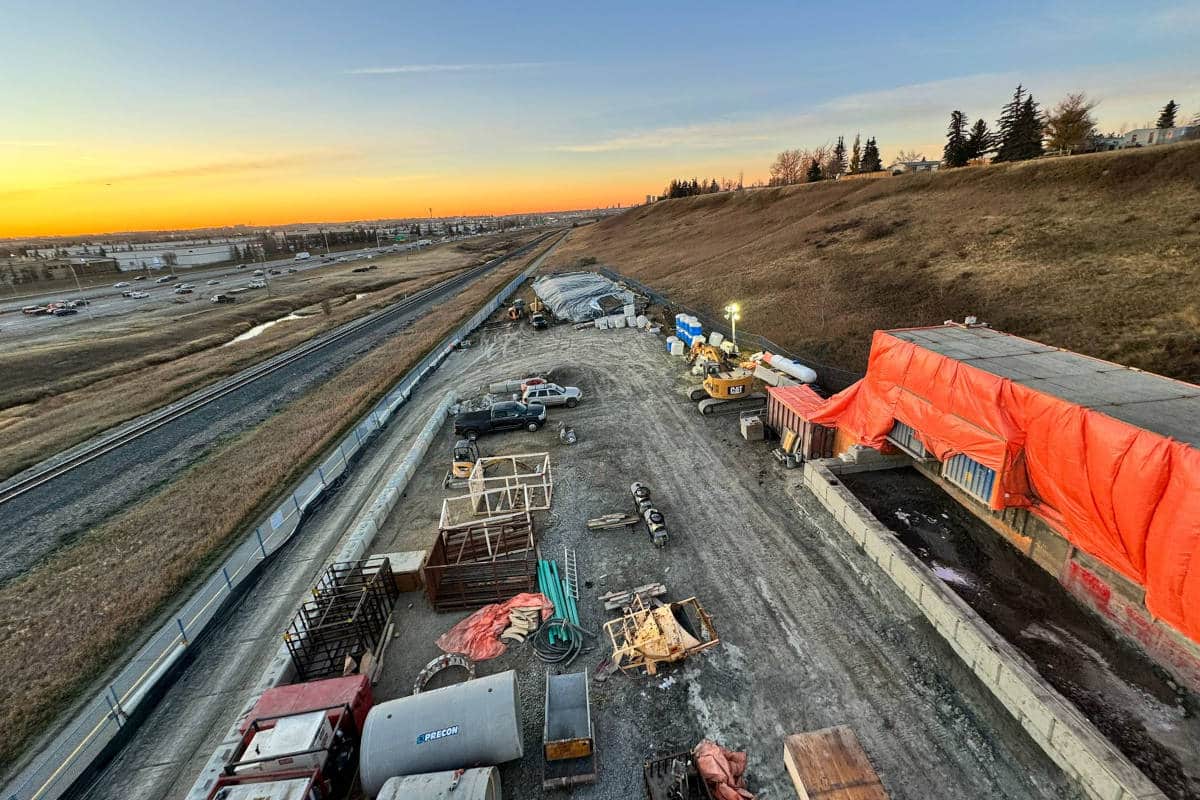
Trenchless installations are often the riskiest components of a linear project. Depending on the trenchless methodology being proposed, geotechnical-related construction risks may include:
- Damage to existing structures or utilities
- Ground heave
- Ground subsidence
- Groundwater infiltration into shafts and excavations
- Inadvertent drilling fluid returns
- Lost tooling downhole
- Failure of the installation
- Change of conditions claims
- Regulatory noncompliance
- Public scrutiny
Acquiring adequate subsurface information along with relevant laboratory test data allows for the understanding and potential mitigation of these risks during the design, contractor selection, and construction stages of the project.
At the beginning of the design phase of a project, the risks associated with ground conditions are typically a known-unknown. Due diligence is necessary to reduce the unknowns and establish a basis for the project team to assess risk. As a practical matter, contract documents should clearly state which contracting party owns the risk of the ground conditions — owner or contractor.
What is Geotechnical Due Diligence?
Geotechnical due diligence typically involves the following steps:
- Desktop research of publicly available information.
- Development of conceptual trenchless engineering plan and profile, and proposed borehole locations and depths.
- Geotechnical field exploration program.
- Laboratory testing of soil and rock samples.
- Interpretation of desktop, field, and laboratory data.
Prior to conducting work onsite, a desktop study of the local geology and geomorphology, along with historic site development, can provide valuable information regarding what geologic risks (such as soft soils, abrasive rock, landsliding, river migration, karst, and others) and construction risks (such as those listed above) are likely to be encountered and which site investigation methods may need to be used.
The subsurface exploration techniques available to project teams are numerous. These include soil/rock borings, test pits, cone penetrometer testing (CPT), pressure meter testing (PMT), dilatometer testing (DMT), geophysical methods (electrical resistivity imaging [ERI], ground penetrating radar [GPR], sub-bottom profiling and seismic methods), and others. A detailed discussion of each is beyond the scope of this article.

Soil and rock borings are probably the most commonly used investigation technique and allow for the collection of samples and downhole testing such as infiltration or packer testing and the installation of groundwater monitoring wells. While samples are collected from geotechnical borings, the gravel, cobble, and boulder content of soils cannot be well defined because of the relatively small diameter samples obtained from the borings.
CPT, PMT, DMT and the geophysical methods listed do not allow for the collection of samples but do provide in-situ evaluation of the soil and rock properties. Whenever geophysical methods are used, it should be in conjunction with borings and/or test pits to ground truth the results of the geophysical tests. In many cases, the coupling of geophysical test data with data obtained from other site investigation techniques can be helpful in understanding the site geology.

When planning the depth of borings, they should typically extend a minimum of 20 ft below the profile of the proposed installation to:
- Allow for deepening the crossing later if needed,
- Accommodate the vertical tolerances of the installation, and
- Provide data for shoring design (where required).
Boring spacing often ranges from a few hundred feet to over 1,000 ft. Boring spacing should be adjusted based on accessibility and geologic complexity. If the subsurface conditions are highly variable, a smaller boring spacing may be needed or additional borings may need to be drilled during a second round of site investigation. For “shaft to shaft” installation methods that may require deep excavations at each end (conventional auger bores, guided bores, pipe ramming, microtunnels, etc.), test pits and/or borings at those locations will be important for the characterization of the subsurface conditions for shoring design.
In the early stages of project planning, several trenchless methods may be considered for an installation. An exploration and laboratory testing program should be designed to acquire sufficient data for later evaluation of the construction risks associated with each method. In this way, the applicability and feasibility of each construction method can be evaluated, and the best option chosen. In some cases, it may be beneficial to provide the data to prospective bidders and gather their input with respect to cost and risk for various trenchless methods.

Laboratory testing of samples collected from explorations should be tailored to the trenchless method(s) being considered. For most trenchless methods, the grain size distribution of granular soils and plasticity index of fine-grained soils are important considerations with respect to constructability.
Shear strength testing on soils and rock provides the contractor with the information they need to select the right tooling for the job. Shear strength testing for soils typically consists of unconfined compressive strength testing and unconsolidated-undrained triaxial testing. For rock samples, unconfined compressive strength testing is most commonly used, but other tests such as splitting tensile strength and point load strength index can also be useful.
Other useful rock tests include Cerchar abrasivity to help predict tool wear and slake durability for shales and weak rocks to determine their behavior to wetting and drying. Tests such as the punch penetration index and other drillability test methods can be used to predict cutter performance and rates of penetration.
The Geotechnical Data Report
Any geotechnical data report for a trenchless installation should include a profile of the proposed installation and a graphic depiction of the investigation results. For borings or test pits, this should include stick logs colored or hatched to indicate the type of formation and any pertinent test results such as blow counts, RQD values, recovery values, percent gravel, compressive strength, etc. Any results from geophysical testing should also be added to the profile to help interpret the subsurface conditions. Additionally, photographs of rock cores should be taken in the field prior to transporting and be included in the data report. Photographs of rock core specimens before and after testing should also be included in the test results.
Trenchless designers and project engineers should consult industry best management practices for the various trenchless methods. On some projects, the trenchless engineer also performs the geotechnical due diligence (a useful compression of responsibility). Where this is not the case, it is critical for these two parties to communicate and collaborate through the process so that the risks can be evaluated and the most effective design chosen. The North American Society for Trenchless Technology (NASTT) and the American Society of Civil Engineers (ASCE) both provide guidelines and methods of practice for most trenchless methods that should be consulted for guidance.
There is no cookie-cutter approach to developing a site investigation program because of the number of variables involved. Every project is different, every site is different, and each trenchless method has its own set of risks imposed by the ground conditions.
Mark Miller, P.E., is principal engineer at GeoEngineers Inc.