Drill Master: Locating Under Water
August 1, 2008
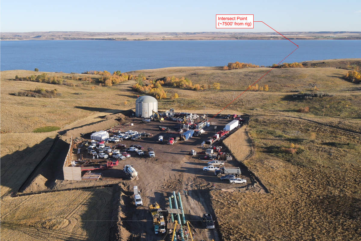
(Editor’s Note: This is a “Classic Electronic Drillmaster” from 2001. As the HDD market has seen new drillers enter the drilling fray, we thought the information presented remains timely and vital for drillers today.) For the purposes of this article, we will assume that the water crossing will take place using a walkover locating system. The alternative is to use a wireline steering tool, which typically involves the rental of specialized tooling and operating personnel. This is often cost-prohibitive, but it should be noted that some of the larger, more exacting crossings should only be attempted by using such a system.
One of the most important tools that can be used in a water crossing is a good drill plan. The more information you have available prior to putting any rods in the ground, the greater the likelihood of success. Anything from commercially available drill planning software to a pencil and pad of paper will assist you in coming up with a proper drill plan.
Why the insistence on drill planning? It is always a good idea, and especially when crossing water for a variety of reasons. First and foremost is that incomplete or inadequate locating information should be anticipated. Equipped with a plan, you are much better able to handle the unexpected. It’s also tricky to get your paint marks to stay still long enough to record them.
Minimally, a rod-by-rod listing of planned pitch and depth, as well as basic topography information should be on hand before the crossing begins. This will allow the rig operator to follow the planned drill profile, which means that the depth of the bore and required cover will take care of itself. A secondary check using depth readings from the receiver should be used to verify this. The locator out in front then primarily has the responsibility for determining left and right direction. Assuming the ground conditions do not allow the drill stem to follow the planned path, the decision-making process for steering corrections becomes much easier when you have a plan to compare your drill data to.
Assuming a proper drill plan is in place, let’s look at some of the nuts and bolts of locating through water. The first issue that needs to be discussed is the salinity of the water body. Saltwater will degrade the transmitted signal, causing erroneous depth readings. The effect can be so great that a traditional battery-powered transmitter is not a viable option. Some manufacturers of walkover locating systems offer a hard-wired transmitter, which transmits pitch and roll information back up the wire to the drill rig operator. This information is constant, regardless of any outside interference or salinity.
The depth and directional information, however, may not be adequate to track through the saltwater due to signal degradation. Depending on the specific heading or line requirements of the crossing, the lack of directional information may not be a problem. If it is, the more sophisticated wireline guidance tools would be the only remaining option.
Locating Over Water
The following are some suggestions that might be useful when attempting to locate over a water crossing:
Boats are commonly used for locating over water, however, it is important to use non-metal boats made out of fiberglass, wood or rubber. This eliminates any interference caused by the boat itself. If using an outboard, shut it off during locating (if possible) as the electrical noise of the ignition may interfere with the pitch/roll signal and depth readings. Stringing a cable/rope across the water to keep the boat steady and on course may also be a consideration. The cable then also serves as the intended drill path.
If possible, station spotters on either side of the water crossing. The person on the far side acts as a moving marker while the near side person sights down the drill path. Once the locator on the boat has found the drill head their hand shoots straight up so the spotter on the near side can sight in the boat and radio to the target person on the far side and line them up with the boat. This will now indicate the direction of the bore and a fixed predicted crossing point. This point can then be compared with the desired crossing point and the appropriate steering corrections, if required, can be made.
If the water is flowing too fast for boats to be used effectively, the following method has been successfully used on several bores. String a cable across the waterway following the intended drill path and rig a pulley system with a small platform that the receiver can be fastened to. Using the remote steering feature, the receiver can be pulled across the waterway and kept ahead of the drill head. In order for this method to work properly, the receiver must always be kept in range of the transmitter and out in front of it. In this case, the depth readings are not correct, but the pitch and roll information coupled with the left/right steering indication will allow the bore to be completed.
If you cannot string a line across the water, the remote steering feature of the locating system can be used as the drill head approaches the far bank. The range depends on the transmitter employed and the depth of the bore. In this fashion, steering corrections for deviations that might have occurred during the crossing can be made prior to the transmitter reaching the other side.
Planning ahead, understanding how your locating system can be used most effectively, coupled with some tricks up your sleeve will considerably improve your chances of having a successful water crossing.
Siggi Finnsson is product manager at Digital Control Inc. and is a member of the Electronic Drillmaster Advisory Board. All Drillmaster Reports are reviewed by the Electronic Drillmaster Advisory Board: Finnsson; John Bieberdorf, The Charles Machine Works Inc.; John Archambeault, McLaughlin Mfg.; and Ed Savage, Vermeer Corp.