Drill Master: Damage Prevention, Project Planning and Locating
Construction professionals understand the importance of not damaging buried utilities while performing any type of new construction and maintenance work.
Even so, accidental strikes of underground utility lines continue to interrupt essential services, cause millions of dollars in damage, result in serious injuries, and in some cases, loss of life. And as utility easements become more crowded, preventing damage to underground facilities has become increasingly challenging.
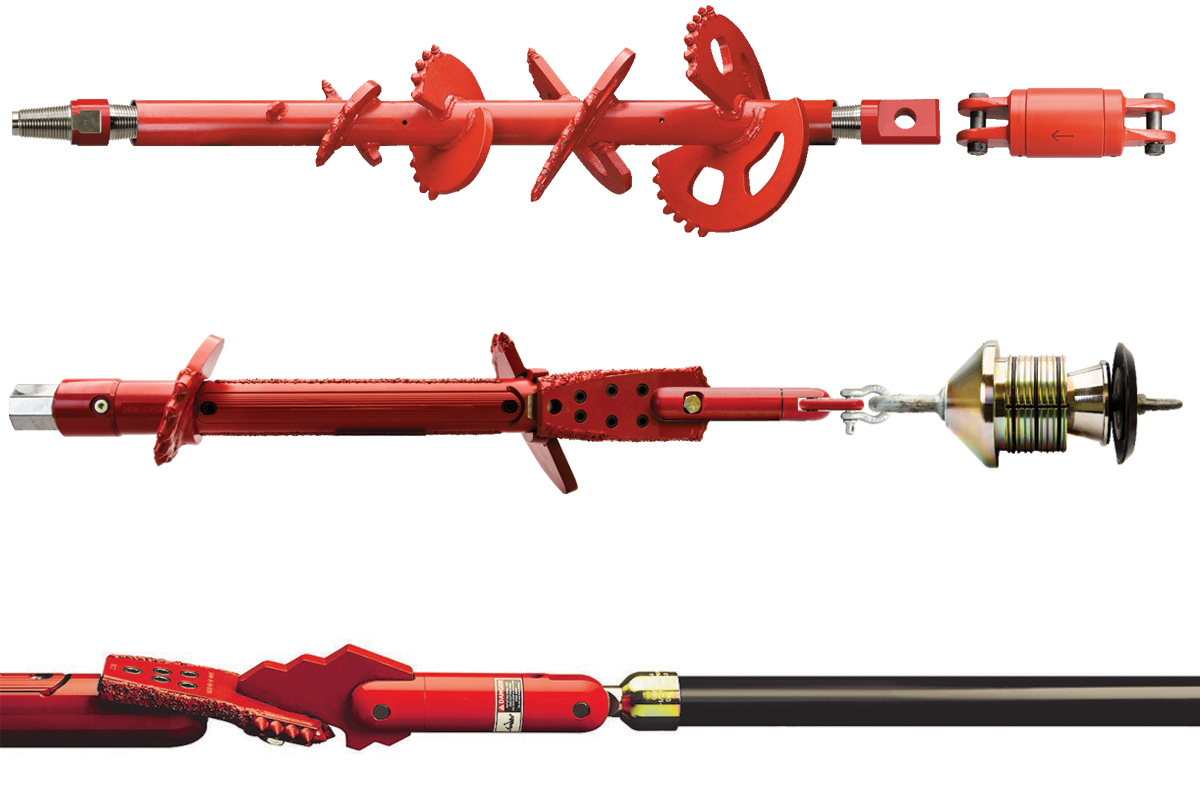
Manufacturers of underground construction equipment are continually working on research and product development to address damage prevention issues. Some of the products available for damage prevention have been used for quite a while, while others are relatively new to the industry.
Careful project planning plays an important role in damage-prevention efforts. Utility projects today are extremely complex and incorporate many different elements. A comprehensive project plan includes safety and damage-prevention provisions, and segments of projects employing specialized construction techniques such as directional drilling require individual attention.
Project Planning
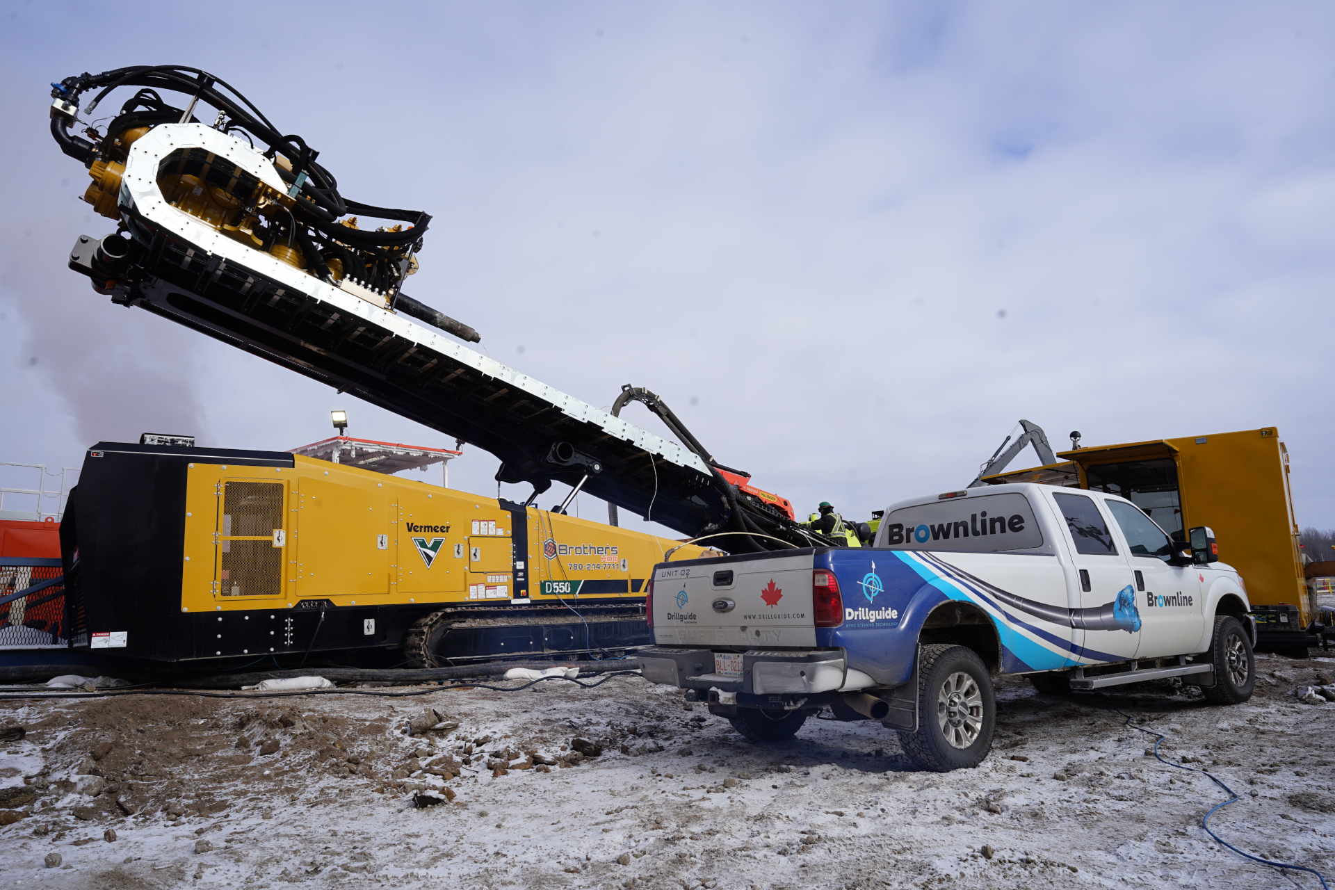
One of the most significant recent advances in HDD technology is development of planning-mapping software that works in conjunction with a drill unit’s electronic tracking system.
Planning-mapping systems can give HDD crews a powerful damage-prevention tool. Systems of this type use computer-based technology to plan drilling installations, taking into account the location of existing buried utilities and other variables. The computer plans a bore path to avoid all buried obstacles and, during drilling, allows the drill unit operator to compare the actual path to the planned one, allowing immediate correction if there is any deviation.
Planning-mapping systems operate in conjunction with the drill unit’s electronic downhole transmitter and walkover tracker. The software operates on a laptop computer that plugs into the tracker remote display unit at the drill rig operator’s station.
To plan a bore, information including bore length and depth, surface terrain, subsurface conditions, and underground and surface obstacles are entered into the computer. A bore plan is developed, including entry angle, how deep the pilot hole should be at various points along the planned path, bend radius of drill pipe, and exit angle. While the pilot hole is being drilled, the planning-mapping system uses information provided by the tracking system’s tracker. Drilling data can be stored and used to prepare as-drilled maps of completed installations, providing a valuable record of the utilities.
Locating & Marking Utilities
Accurately locating and marking all utilities in a work area before construction begins is a very important step in preventing damage to buried facilities. This process is initiated with a call to the local one-call center, providing the exact location of the work site and requesting locates be made. Usually, the call must be placed at least 48 hours before work is scheduled to begin.
The one-call center then contacts appropriate utility providers, who then locate and mark positions of their buried lines. Some utilities use their own personnel; others employ contract locating specialists.
The basic tool used by locating personnel is the electronic locator. Most electronic locating systems consist of a lightweight hand-held receiver and compact transmitter unit.
Generally, the receiver uses several different frequencies and modes to find locations of different types of buried utilities by detecting magnetic fields created by electrical current passing through the lines.
In some situations, the receiving unit is all that is necessary to locate electrical and cable television signals. To find telephone cable and metallic pipe, the transmitter unit is connected to cable or pipe and a current is sent through the line, creating a signal that is detected by the receiver.
For PVC pipe with tracer wire, the wire is energized by the transmitter to provide a signal that the receiver can read. The receiver processes information and displays an estimate of depth and other data on an easy-to-read screen.
Some utilities also mark positions of buried facilities with electronic markers that are buried with pipe or cable. Markers are passive resonate circuits with no internal power source to run down; their polyethylene shells are impervious to minerals, chemicals and temperature extremes. They are located using a receiver equipped with an Electronic Marker Locator (EML) attachment that transmits a signal to the buried marker which resonates it back to the EML.
Ground penetrating radar technology also has been adapted for utility locating purposes, but the method is not effective in all types of soils. Nevertheless, equipment manufacturers and research firms continue to search for better results in difficult soil types.